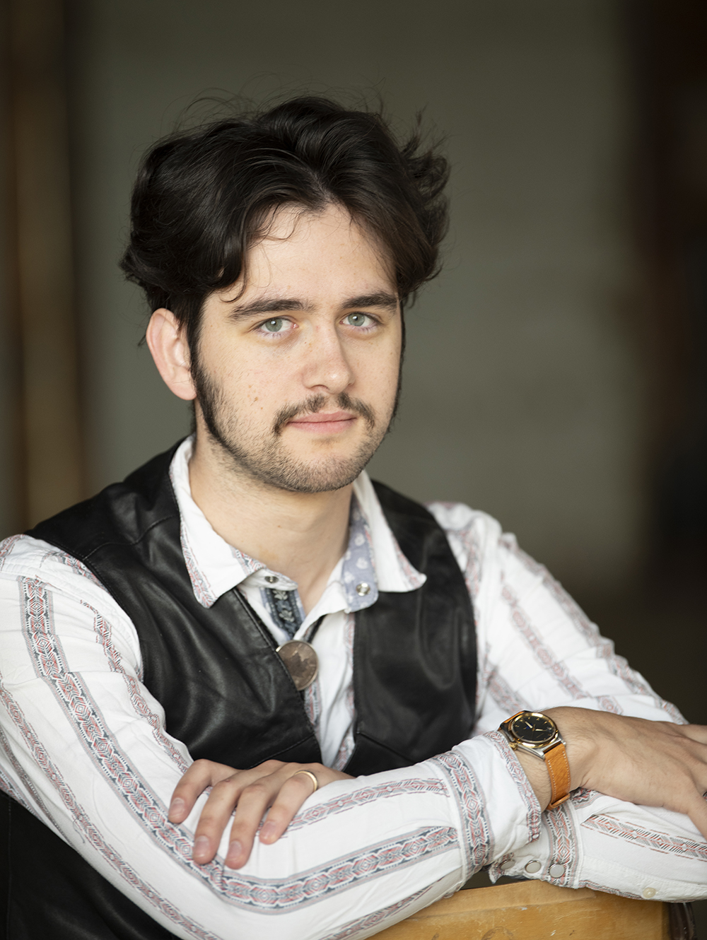
Alex is a freelance cartographer based out of Val Marie, Saskatchewan, with professional interests in science communication, historical mapping, and Indigenous community GIS. He has worked for First Nations, Métis, and Inuit governments across Western Canada, and was the head of GIS for a major provincial election campaign in 2024. He is currently completing an MSc with the University of Alberta PACS Lab, supervised by Duane Froese.
The PACS Lab depends on its northern partners to conduct excellent research, and Alex will be using community GIS methods to help those relationships grow. He will provide technical support for Northern people who are developing Indigenous regulatory capacity in a politically sensitive region. This work begins Winter 2026/2027 and will initially concern the Mackenzie Valley Highway.